Company Overview
Gledaki Services Limited is a reputable survey company based in Nairobi,
Kenya. We specialize in providing a comprehensive range of surveying
services, including cadastral, planning, topographical, aerial, and
hydrographic surveys. Additionally, we offer equipment rental services for
surveys and provide printing solutions for bulk CAD drawings. With a strong
commitment to accuracy, efficiency, and customer satisfaction, We have earned a trusted reputation in the surveying industry.
The company was established in 2018. Over the years, we have
had opportunities to serve different players in the Kenyan economy, including
contract in sectors such as construction, oil, gas, and energy, Governmental
Organizations, Non-governmental Organizations, Surveying companies,
Agriculture companies as well as learning institutions.
We look forward to doing great things with you
anywhere in the world.
Our Services
We specialize in providing comprehensive surveying and geospatial solutions tailored to meet diverse industry needs. With a commitment to precision, innovation, and excellence, we offer a wide range of services, ensuring accuracy in land mapping, infrastructure development, and environmental planning.
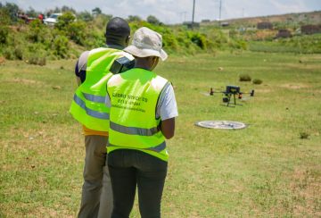
Aerial Survey

Using advanced aerial imaging technology, we capture high-resolution aerial photographs and create orthophotos and digital elevation models. Aerial surveys are ideal for large-scale projects, infrastructure planning, and environment assessments.
Cadastral Survey

We conduct accurate and reliable cadastral surveys, which involve mapping and defining property boundaries, determining land ownership, and providing legal documentation required for property transactions, subdivisions, or developments.
Topographical Survey

We conduct detailed topographical surveys to map the natural and man- made features of a particular area. Our surveys capture accurate information on the contours, elevations, vegetation, and other physical characteristics of the land, Read more
Agricultural Drones

We proud to offer professional Drone spraying services to cater to the diverse needs of our clients. As a reputable company specializing in advanced technological solutions, we have leveraged the power of drones to revolutionize the field of agricultural spraying.
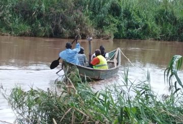
Hydrographic Survey

We specialize in hydrographic surveys, which involve mapping and measuring bodies of water, such as rivers, lakes, and coastlines. Our precise hydrographic data assists in coastal zone management, port and harbor design, and environmental monitoring.
Engineering Survey

We are a premier training provider specializing in Civil 3D, GIS, and Equipment Usage Training, designed to equip professionals with practical skills for the engineering, surveying, and geospatial industries.
Equipment Rental
We offer a wide range of surveying equipment for rent, including total stations, GPS receivers, laser scanners, and drones. Our well-maintained and calibrated equipment ensures accurate data collection and optimal performance for your surveying needs.
Training

We are a premier training provider specializing in Civil 3D, GIS, and Equipment Usage Training, designed to equip professionals with practical skills for the engineering, surveying, and geospatial industries.
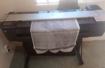
Printing, Scanning and photocopying

Our company provides efficient printing services for bulk CAD drawings. Whether you require large-scale map prints, site plans, or other CAD drawings, we deliver high-quality prints promptly and cost-effectively.
OUR AMAZING CLIENTS

OUR PROJECTS
Over the years we have had opportunities to serve different players in the country and neighboring countries. This including contract in sectors such as construction, oil, gas, and energy, Governmental Organizations, Non-governmental Organizations, Surveying companies, Agriculture companies as well as learning institutions.
Here are some selected projects we have undertaken;

Topographical Survey Mukurwe-Ini TTI

Inspection Of Makupa Bridge

DBM Survey At Northland AERODROME

Aerial Survey Of Chania Boys High

Sleeping Worrrior Aerial Mapping – Gilgil

Sleeping Worrrior water pipeline Aerial Mapping- Gilgil

MGR Railway line Aerial Mapping – Gilgil


