Civil 3D Training:
Our Civil 3D Training program is perfect for individuals looking to learn the fundamentals or enhance their existing skills in computer-aided design (CAD). We train professionals in the following disciplines; architecture, engineering, designers and planners, our experienced instructors will guide you through the intricacies of Autocad software. You will learn how to create and modify 2D and 3D drawings, utilize drafting tools efficiently, and collaborate effectively with project teams.
For those involved in civil engineering and infrastructure projects, our Civil 3D training offers a comprehensive understanding of this powerful software. From designing roads, highways, and land development projects to analyzing surfaces and creating accurate construction documentation, our course will equip you with the skills to tackle real-world challenges. Our instructors will cover topics such as creating surface, alignment, profile, corridor, assembly, sample lines and section views then Modelling
GIS Training:
Geographic Information Systems (GIS) play a vital role in managing and analyzing spatial data. Our GIS training program focuses on the use of industry-leading software, enabling you to explore, interpret, and visualize geographical data effectively. You will learn how to create maps, perform spatial analysis, geo-reference data, and utilize GIS in various applications, including urban planning, environmental management, and asset tracking.

Equipment usage training:
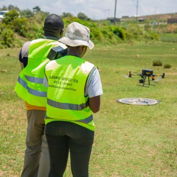
We train surveyors and others in related fields of survey on how to use survey equipment and data processing including Drone pilots.


